GPS (Global Positioning System) & data georeferencing
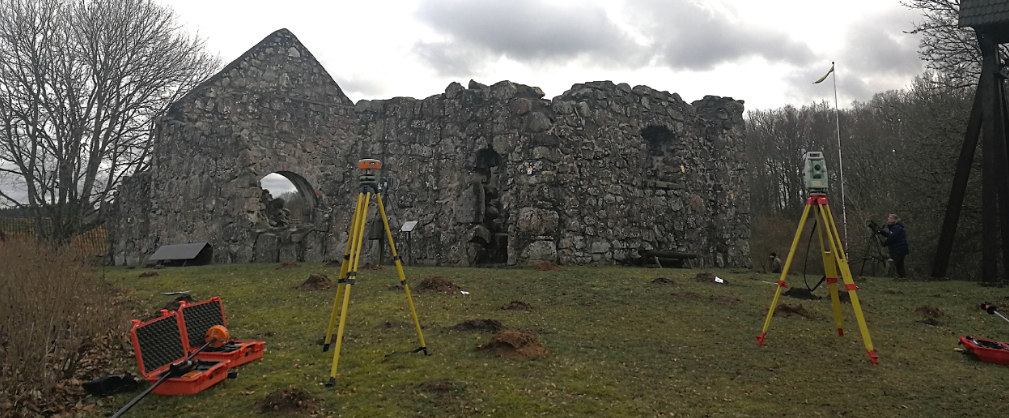
This tutorial will provide a general introduction to the use of RTK GPS for georeferencing spatial datasets. Different coordinate systems will be described, and users will have the possibility to get to know how to set up a GPS station, collect data and export them in a GIS. As an additional point, strategies to georeference 3D models derived from different acquisition techniques will be introduced.
For info and applications, contact giacomo.landeschiark.luse.